How to check air quality using Google Maps: Do you often find yourself needing to check the air quality in a specific location? Whether you’re concerned about the health of your family or just want to get an idea of what the air quality is like in a certain area, Google Maps can be your go-to source for checking out the air quality. Here’s how to use it!
Importance of Air Quality
The importance of air quality cannot be overemphasized. Air quality is essential to human health and can impact our environment.
If you live in a city, checking air quality can help you stay informed about the pollution levels in your area. You can also use the air quality data to see which areas have the worst air quality. Google Maps also includes a feature that shows how polluted the air is over time.
If you’re outside of a city, monitoring air quality can help you forecast conditions before they become dangerous. For example, if you’re camping in an area with high pollution, checking the air quality regularly can help you avoid getting sick.
How to check if someone viewed your Facebook profile
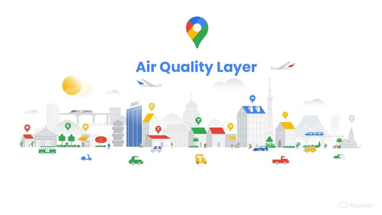
Check the Air Quality on Google Maps
Google Maps can be used to check air quality in your area. Just go to the “Maps” tab and select “Air Quality.” You’ll see a map of the area with different colors representing different levels of air quality. You can also get information about the air quality index, which is a measure of how unhealthy the air is.
Air quality panel inspected 4,890 sites in Delhi-NCR to check air pollution
Tips for Checking Air Quality
If you’re feeling a bit down about the current air quality, or just want to know for sure what the conditions are like where you are, checking air quality using Google Maps is a great way to get an idea. Here are some tips to make the process as easy as possible:
-Start by selecting your location on the map.
-Once you’ve selected your location, open the “Maps” app on your phone.
-Click on the “Air Quality” tab in the main window, and you’ll be able to see real-time readings for PM2.5, ozone, and carbon monoxide.
-If you’re concerned about the air quality in your area, click on the “Filter by Condition” button to see results based on either unhealthy or safe levels.
How to Easily Clear Your iPhone’s RAM
Conclusion
Google Maps has always been a great tool for finding your way around, but with the addition of air quality data, it can become even more powerful. By checking the air quality in your area using Google Maps, you can get an idea of how good or bad the air is and make decisions about whether or not to stay indoors. If you are ever unsure about the safety of a particular location, checking the air quality will give you peace of mind.
: History, FAQs, Dates, Activities, and Facts")
: Activities, History, FAQs, Dates, and Facts About Plumbing")

: Activities, FAQs, Dates, History, and Facts")
: Activities, History, FAQs, and Dates")